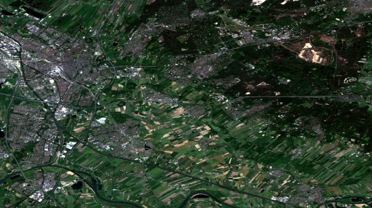
LAND COVER MAP
The land cover classification map of Utrecht delineates various types of surface cover across the city,
including urban areas, green spaces, water bodies, and agricultural lands.
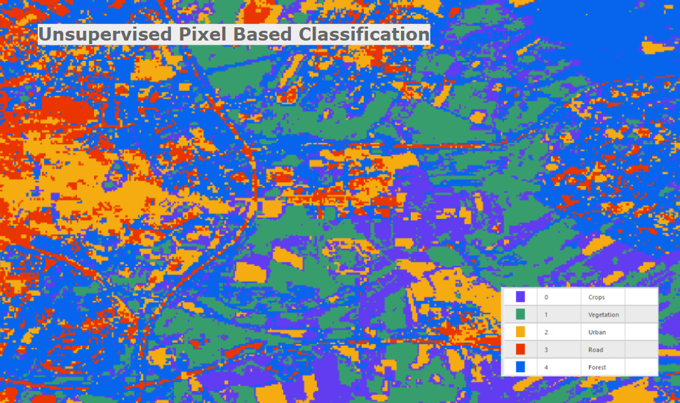
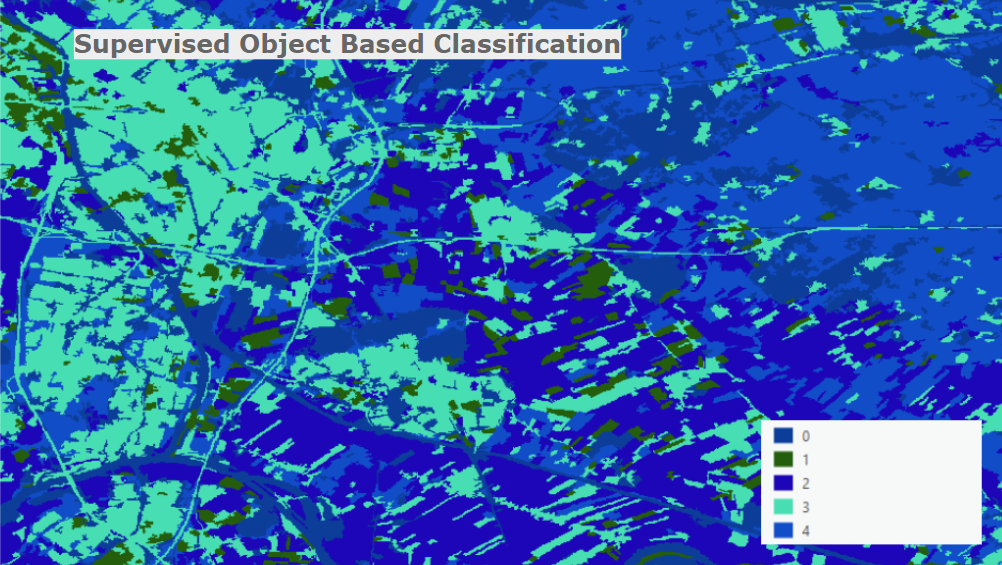
The classification scheme that worked best in my opinion is the last one: Pixel Trained Classification. This one seems closest to the original map. The unsupervised pixel trained classification would be the next best map, but the program made some mistakes, confusing water (which was dark) to forest or land masses. If I had trained it for longer, adding more (small) parcels for each category, the final map for the supervised pixel trained classification would have been even more accurate.
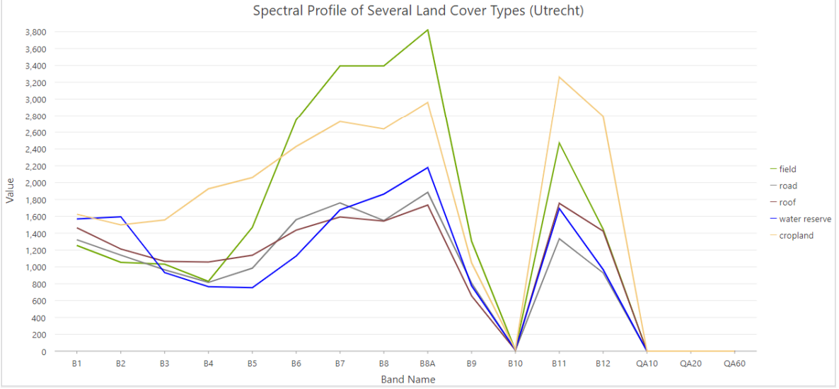
The unsupervised classification methods were much faster but overall less precise or accurate than the supervised ones. The supervised pixel classification (if done with many pixel examples to train the program) is more precise but takes longer to load. In my case, the program also crashed when trying to load this classification. The unsupervised pixel classification was a bit harder to analyze because the colors were very different from the original map. Additionally, when changing the symbology from this classification, I had to guess a few of the values which means that the result for this is quite subjective to what I believe roads to be colored (grey) or what I think vegetation means…Lastly, the unsupervised object classification was really hard to comprehend, there were few parallels between that and the original map and looked like the map that most misrepresented the original map view.