LIDAR MAP
The LiDAR-derived map of Leeuwarden provides a highly detailed, three-dimensional representation of the city's terrain and built environment.
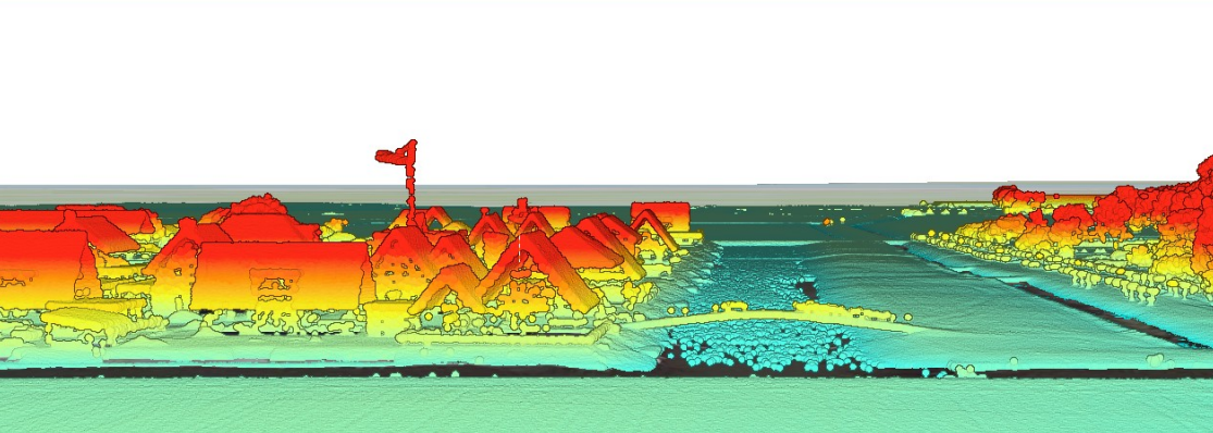
LiDAR (Light Detection and Ranging) technology is used to create highly detailed maps by emitting laser pulses from an aircraft or drone and measuring the time it takes for the light to bounce back from the ground and other surfaces. This process generates precise, three-dimensional data points that can be used to construct accurate representations of the terrain and built environment. The resulting LiDAR maps are advantageous for various applications, such as measuring building heights, assessing vegetation structure, and conducting topographic surveys. Their high resolution and accuracy make them invaluable for urban planning, environmental monitoring, and infrastructure development, offering insights that traditional mapping methods cannot provide.
This assignment is unfinished.