Welcome to my
Map Portfolio
This is the compilation of some work done during my Bachelors
while learning about Geographical Information Systems.
Bachelor in Liberal Arts & Sciences
Earth & Environment and Mathematics, minor in Philosophy
Student at University College Utrecht.
This is the compilation of some work done during my Bachelors
while learning about Geographical Information Systems.

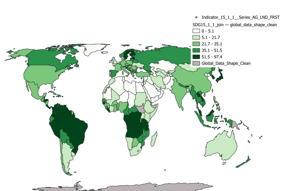
Exploring the Sustainability Development Goals through an interactive choropleth map.
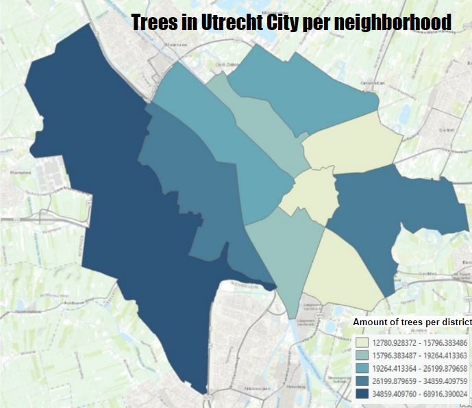
Analysing tree density in the neughborhoods of Utrecht city through a vector map created in ArcGis Pro.
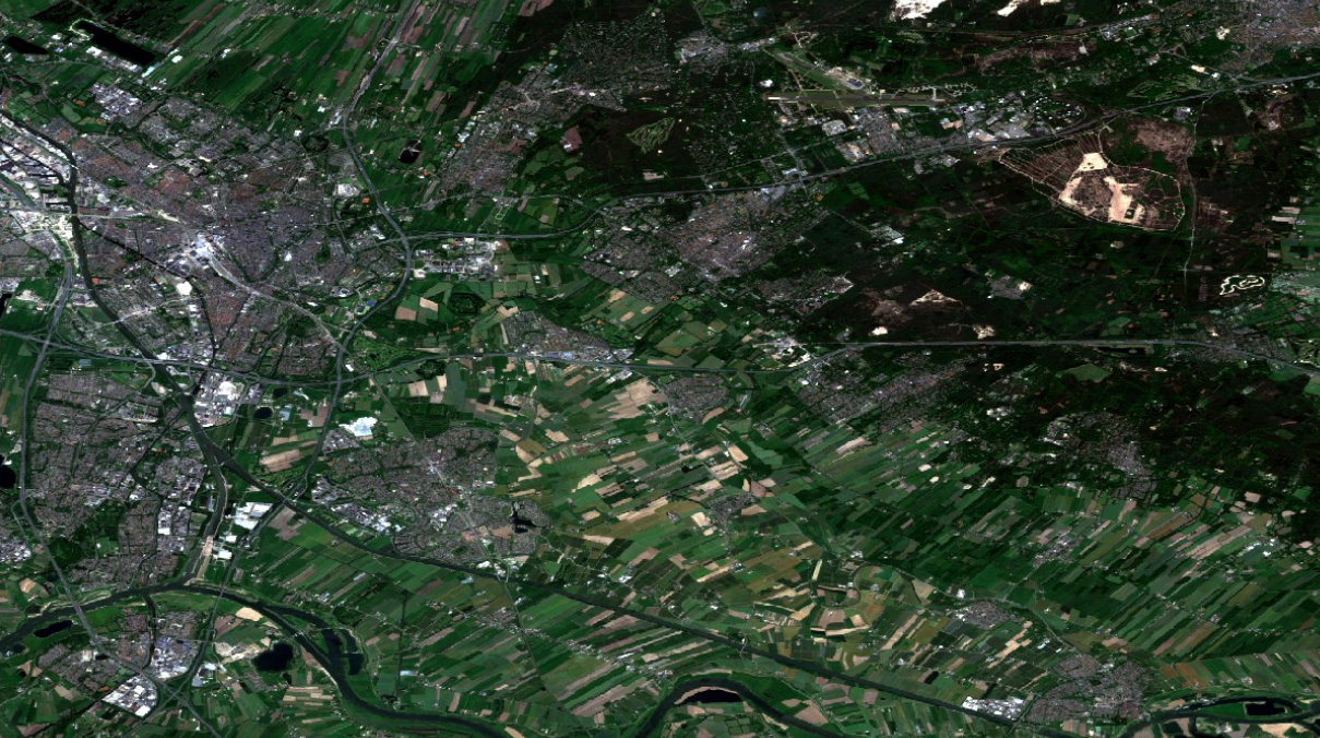
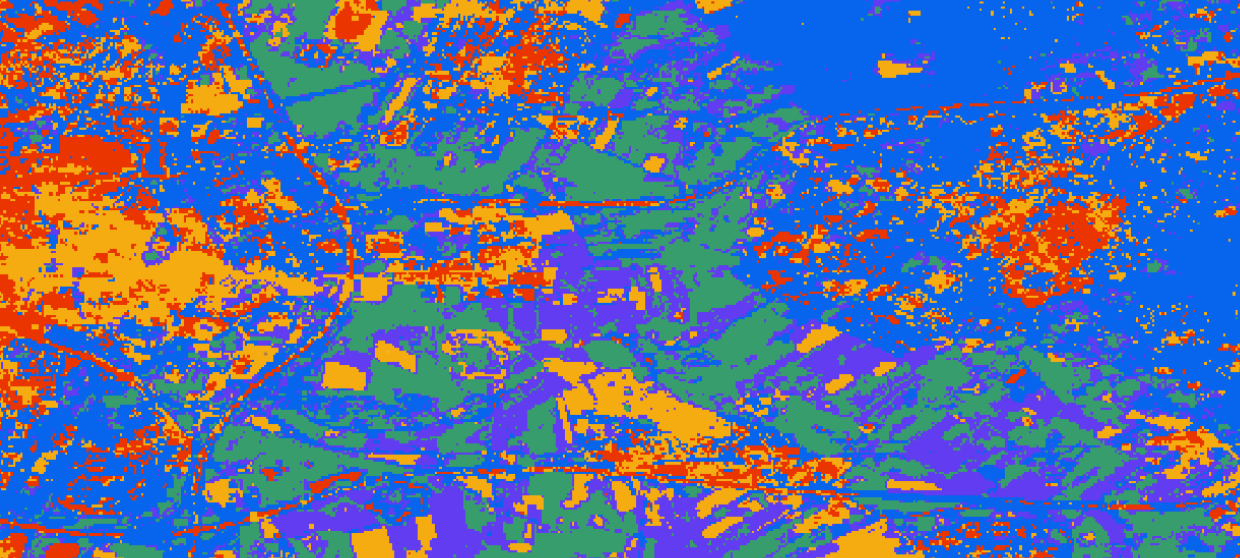
Using different types of map classification in ArcGis Pro to uncover how they analyse an area based on each type and their accuracy.
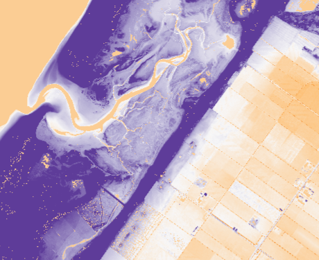
A piece of art is created when looking at elevation models. In this case I overlapped two models to analyse a phenomenon.

Using Google Earth Engine to inspect the carbon sequestration in the island of Tenerife, Spain, creating an interactive map to analyse the phenomenon.

An incredible adventure into the 3D world. LiDar technology allowed me to look more into the area of Leeuwarden, Friesland.