RELATIVE ELEVATION
MODEL map
The relative elevation model map of Texel Island (NL) highlights the variations
in terrain height across the island, providing detailed insights into its topographical features.
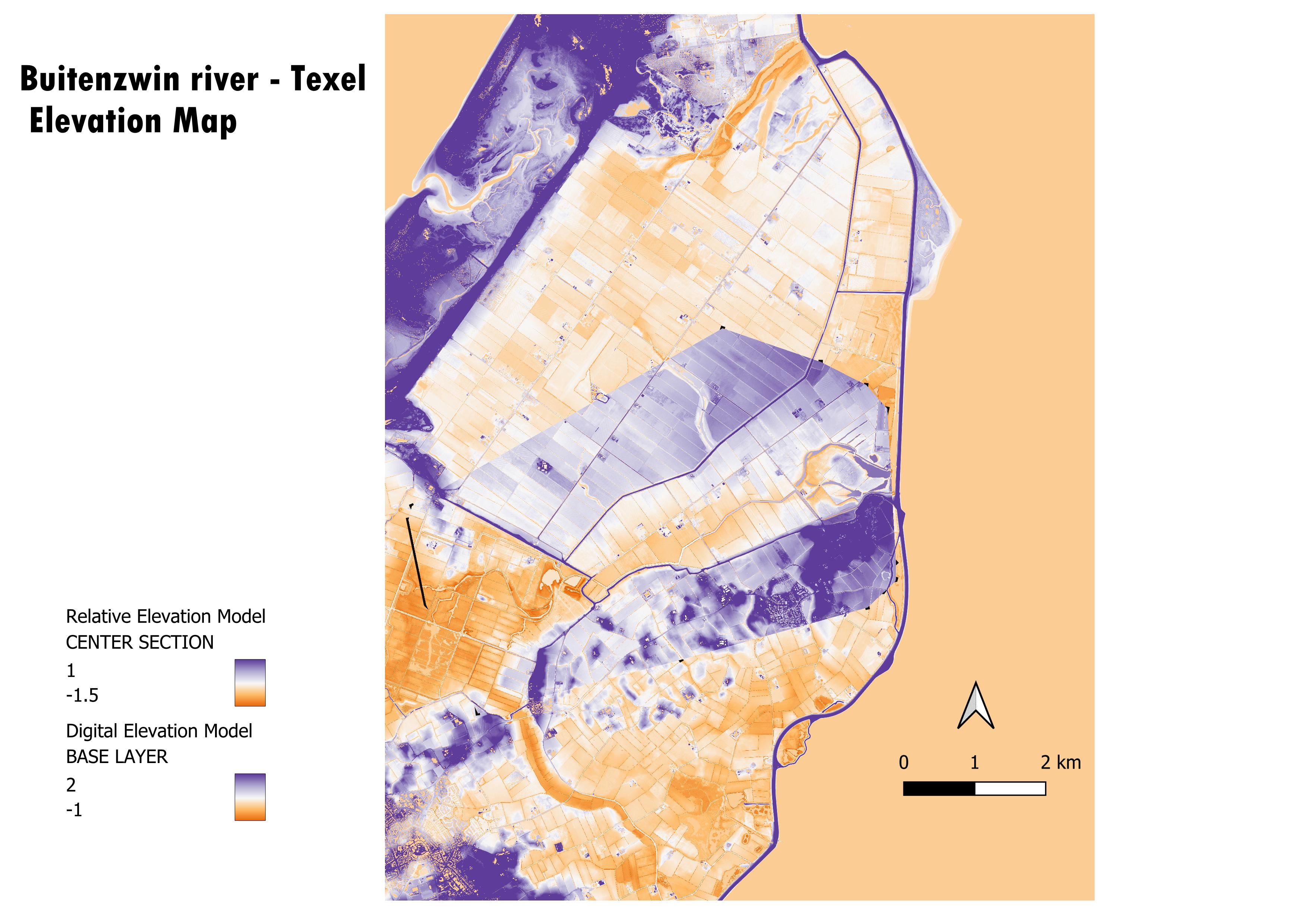
I picked this area because Texel is an island in a country that is below sea level. This creates avery interesting situation for a landmass that is entirely surrounded by water but, in its majority, is not even above sea level. Additionally, Texel is protected from ocean currents from the West by very tall sand dunes, this creates another interesting layer to the island morphology, that I am excited to look into.
I picked this color scheme because it provides a stark contrast between the darkness of the purple and the orange, it creates a good distinction between the sea (and all that is below sea level) and what is above. Additionally, on the REM layer, the extreme (max and min) values have been made even higher, which means that the contrast between the two is even higher. This provides a great difference between the areas that could be flooded (because they are by the river bed and below sea level) and the areas that would be protected (by the high dykes).